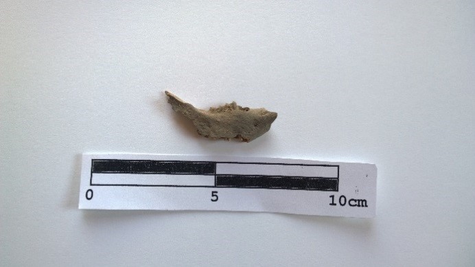
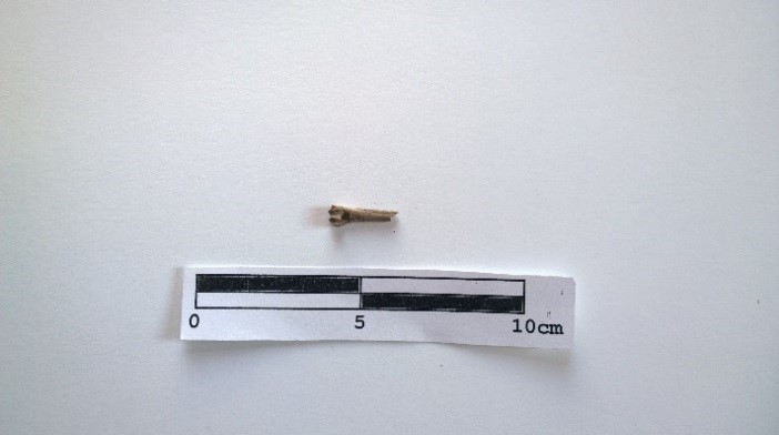
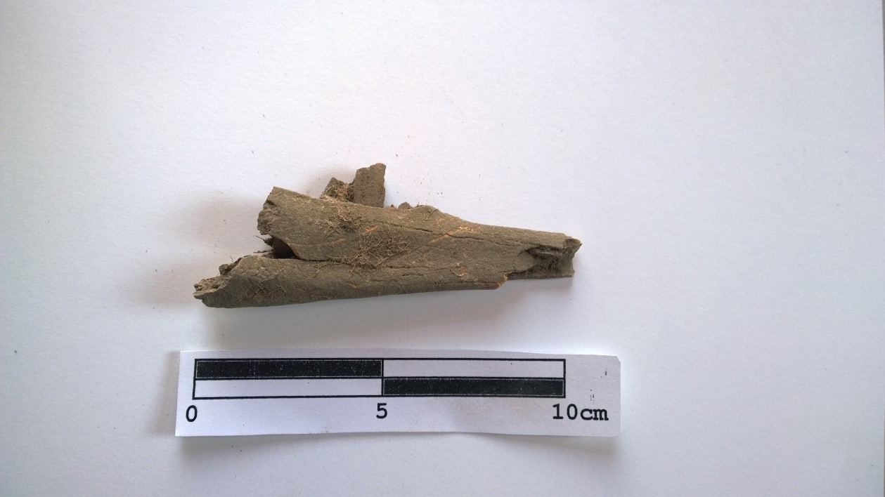
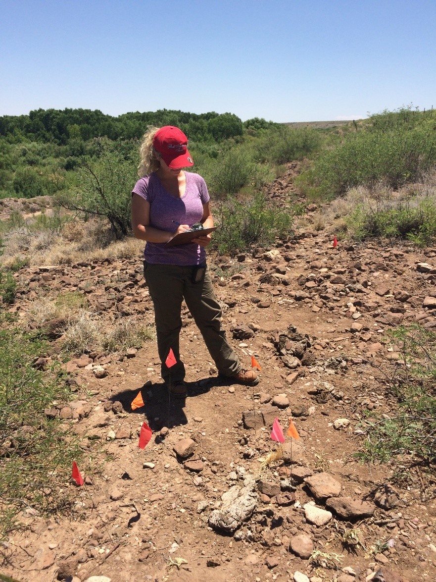
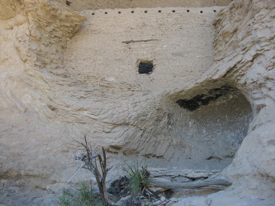
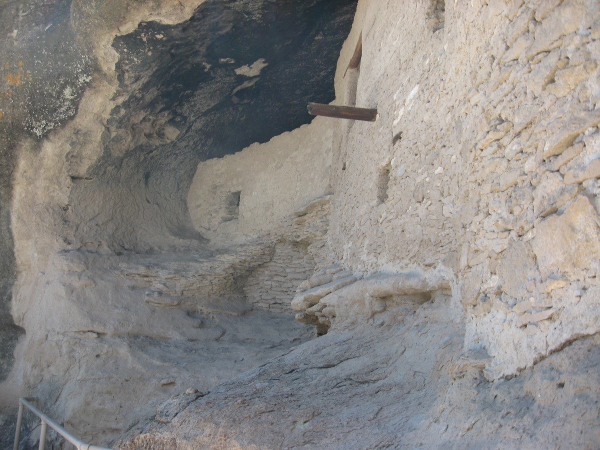
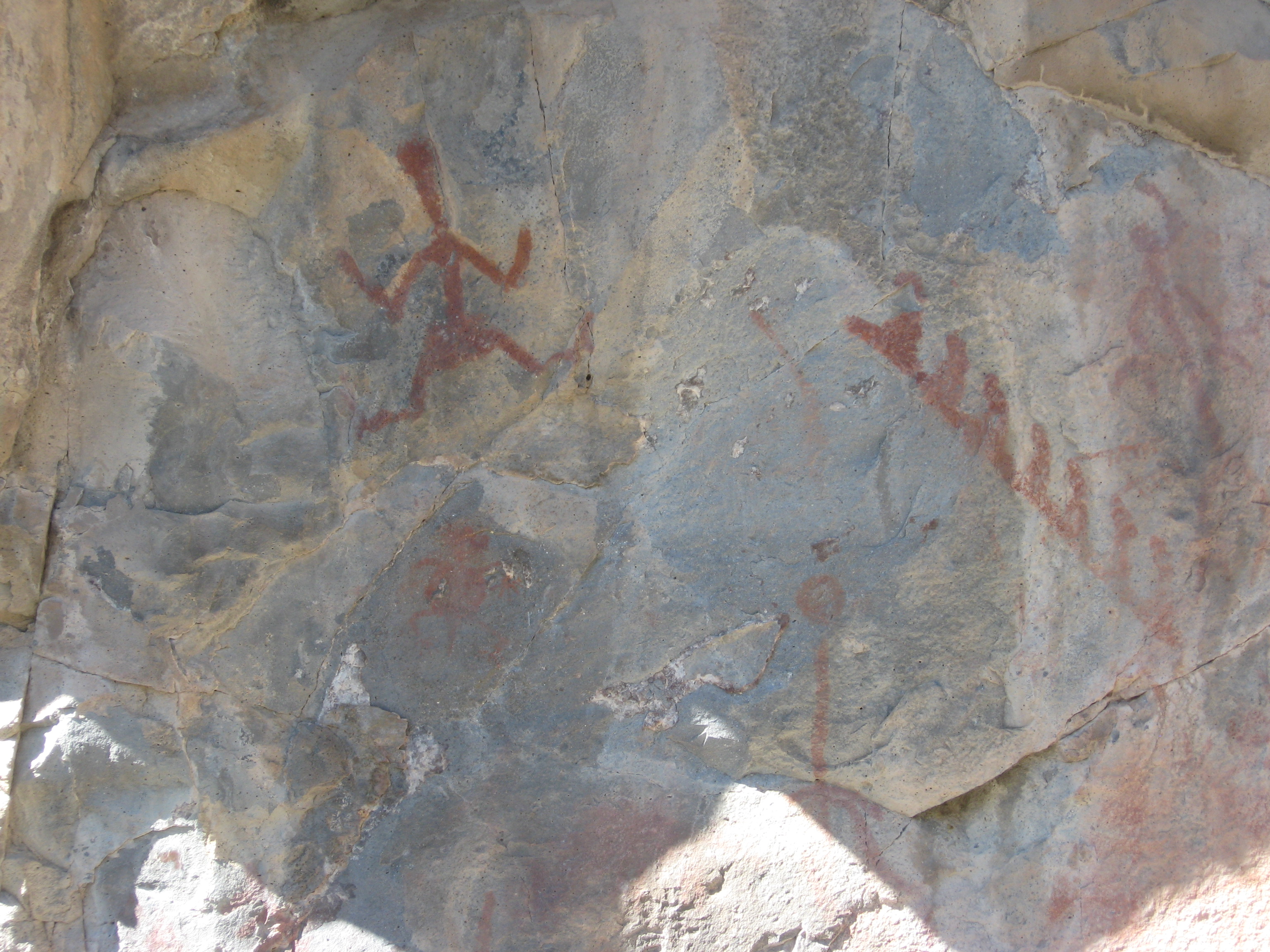
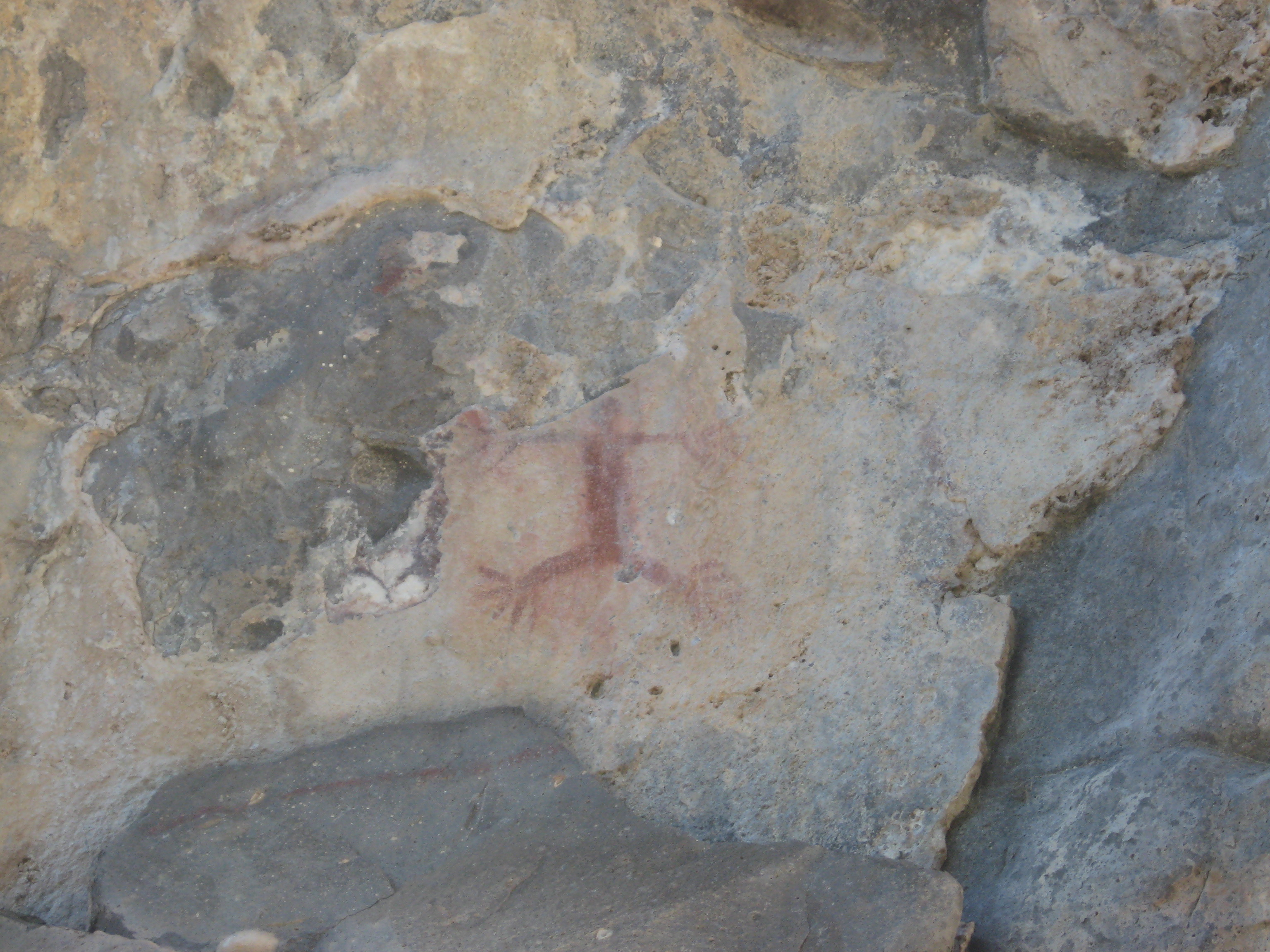
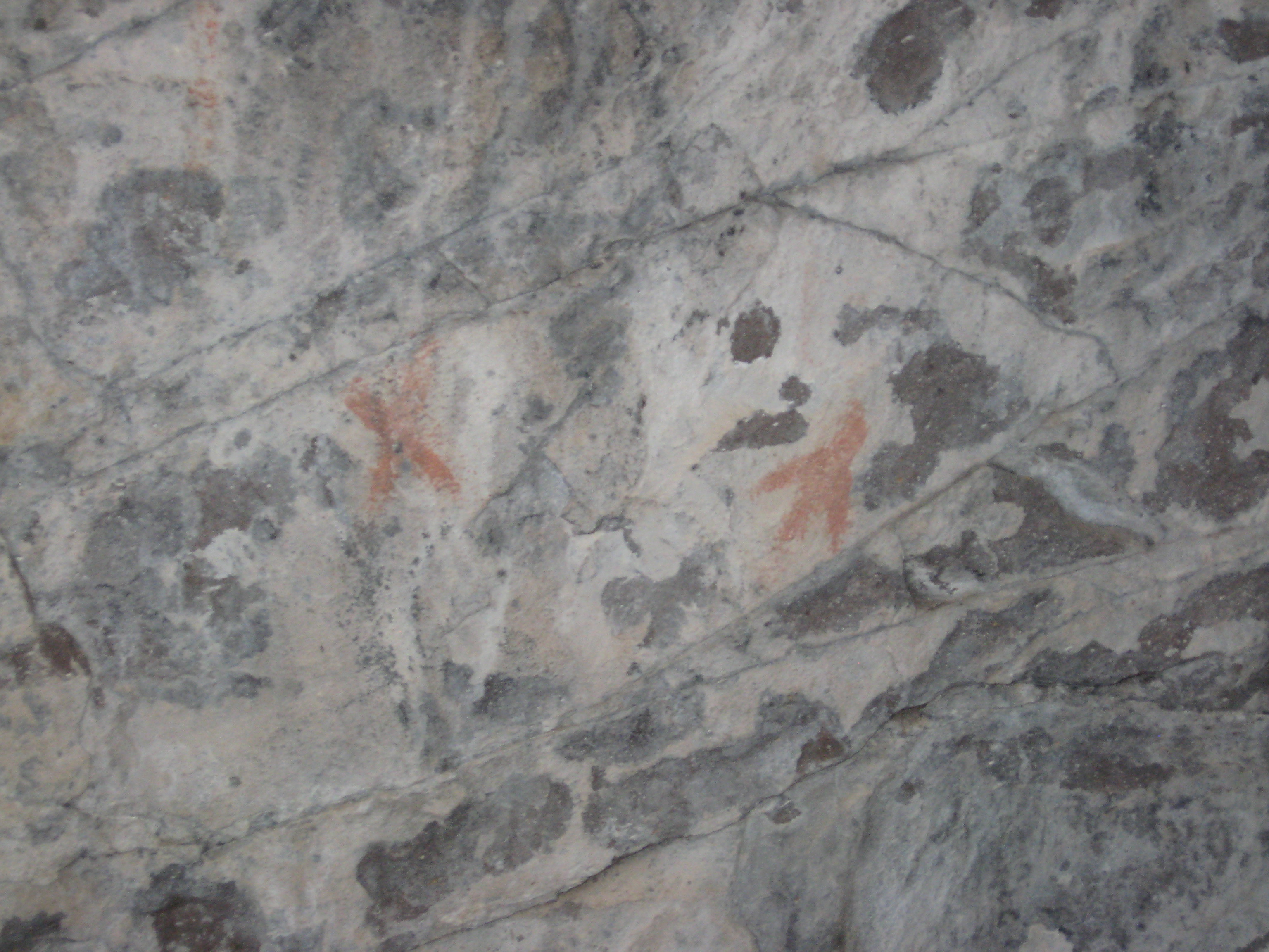
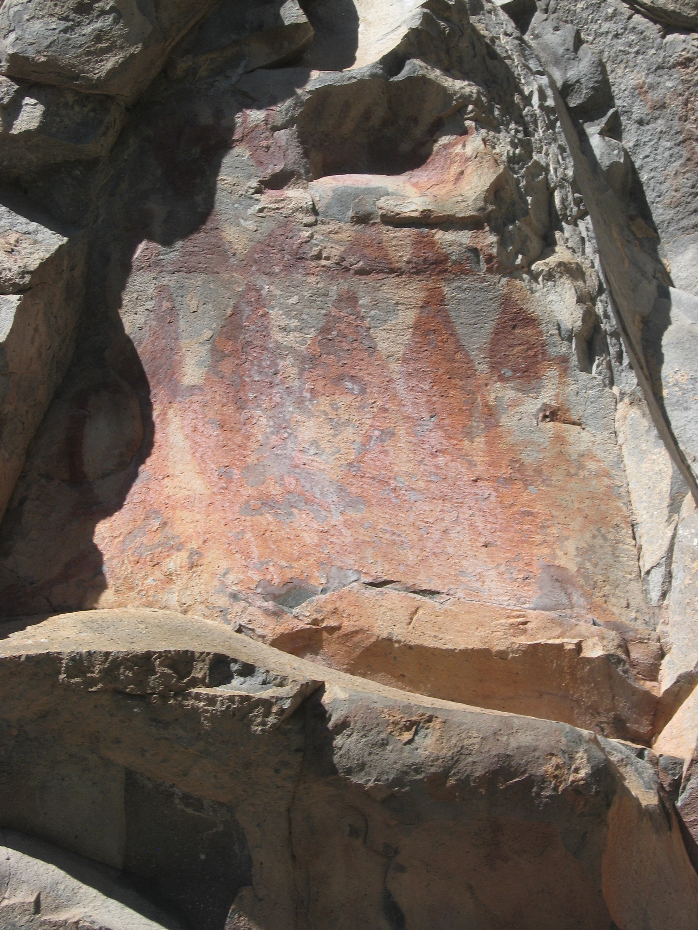
Today was the backfill day at the DOTMON site (AZ:CC:4:62 (ASM)). After all the excavating, screening, and paper work, the perfectly square hole (a 1x1m unit) we made in the ground must be backfilled and the site returned to its original state…almost. It is next to impossible to bring it back to how we found it, but we try. This practice is predominantly to clean up our mess and prevent injury, we did put in a 40cm pit after all.
Unlike the meticulous efforts archaeologists put in for excavating, back filling looks barbaric, with an almost haphazard technique of throwing rocks and tossing dirt into the unit. But it isn’t without symbolism. A common tradition is to place a historical item in the unit before sealing the unit. In our case Dr. Hard had tossed a few coins with recent dates in the unit. He said that these were for the next archaeologists who dug the site. It was our way of saying we were here, and now we are part of the history of this site.
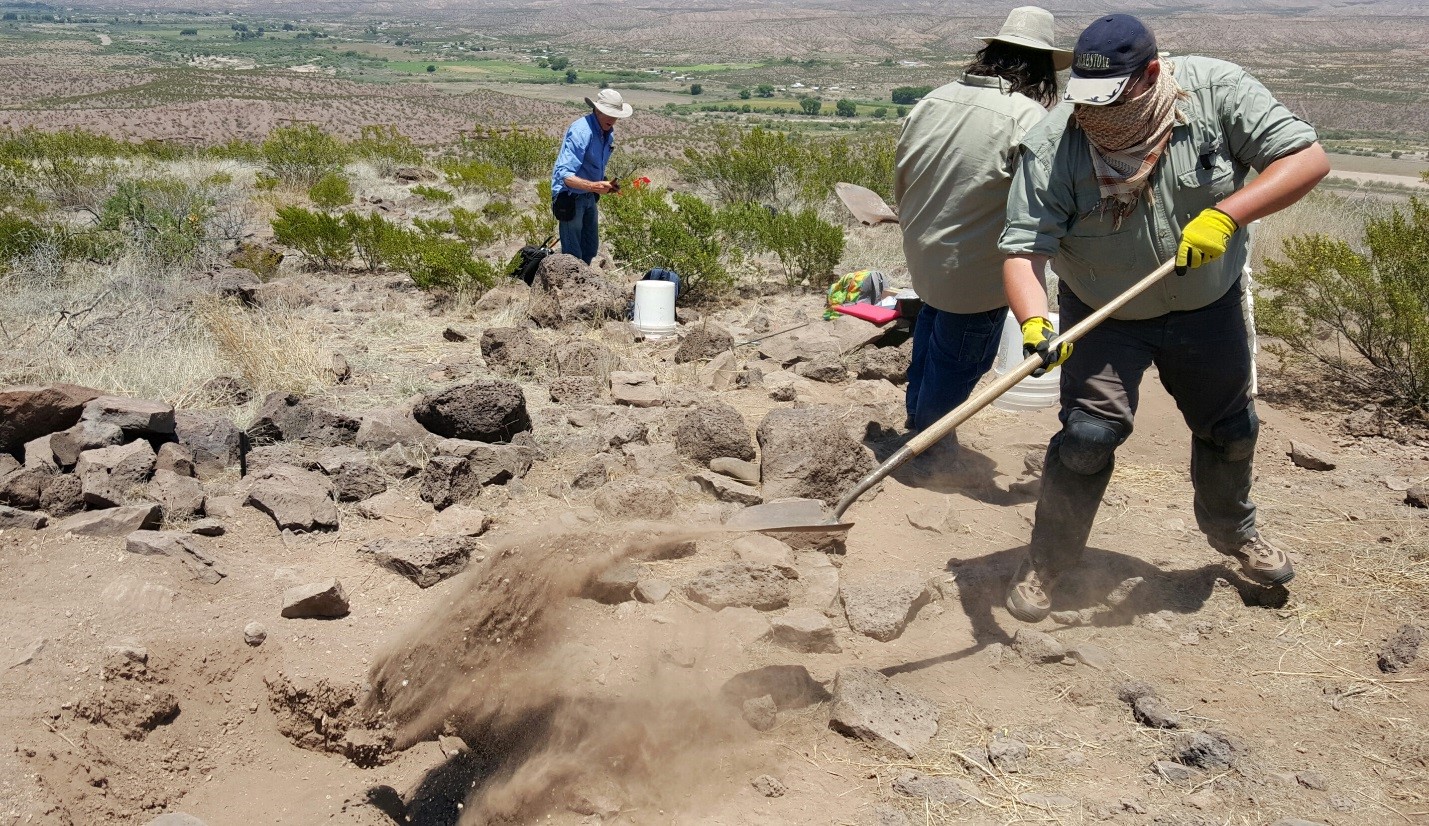
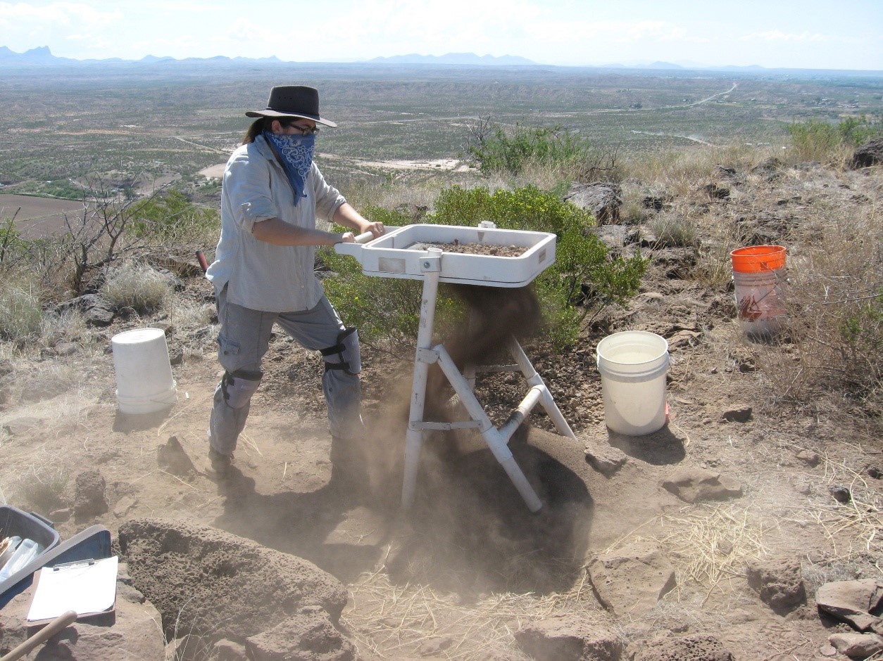
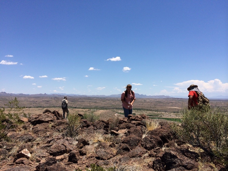
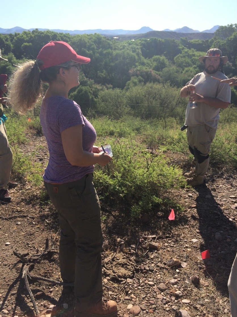
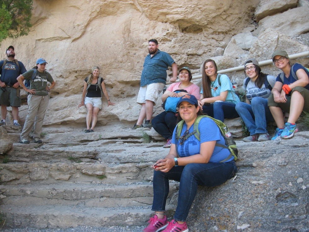
Here I am shoveling dirt back into our unit at the DOT MON site (AZ:CC:4:62 (ASM)), while Dr. Hard (far left) and Robert Gardner (just to the left of me) pick up excavation tools.